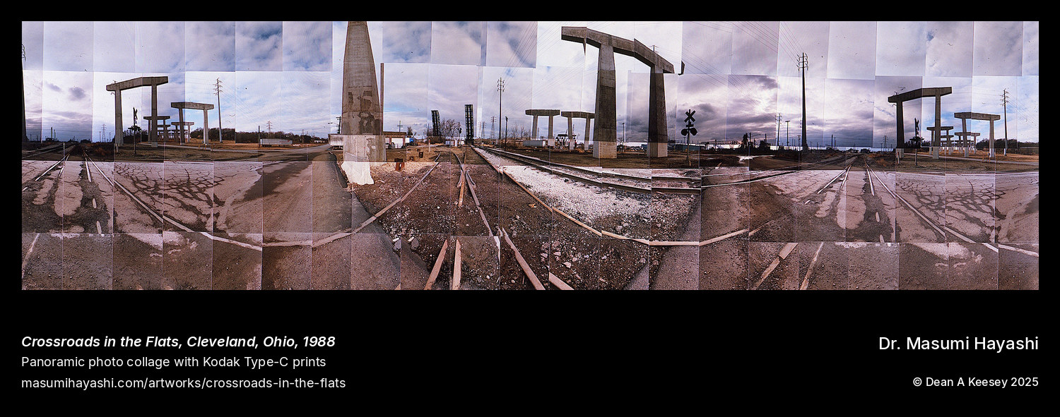
Crossroads in the Flats, Cleveland, Ohio
Cleveland, OH, USA
Panoramic Photo Collage
1988
25 x 82
At nearly seven feet wide, this extreme horizontal panorama documents the infrastructure convergence that defined Cleveland’s Flats—the industrial valley where bridges, roads, rail lines, and waterways intersected to serve the steel mills and manufacturing plants lining the Cuyahoga River. The title operates on multiple levels: literally describing where transportation networks converge, metaphorically suggesting Cleveland’s 1988 condition—a city at a crossroads between industrial past and uncertain future.
The Flats represented one of America’s most complex urban industrial landscapes. The Cuyahoga River connected Lake Erie shipping to inland industrial sites. Multiple major railroads descended into the valley, creating extensive switching yards filling the valley floor. Numerous bridges—fixed and movable—spanned the river, carrying rail, vehicle, and pedestrian traffic. This infrastructure density created extraordinary visual complexity: bridges at multiple levels, rail tracks crossing streets at grade, roads weaving between industrial buildings.
At peak operations, these bridges operated continuously. Lift bridges raised and lowered for ore boat traffic. Rail bridges carried hundreds of freight cars daily. Vehicular bridges accommodated shift-change traffic as thousands of workers entered and left mills. The infrastructure investment represented massive capital commitment justified by industrial production volumes.
By 1988, that production had collapsed. Ore boats arrived infrequently. Rail freight diminished. Truck traffic reduced. Workers gone. The physical infrastructure remained as material legacy of vanished prosperity—bridges and intersections built for intensive industrial activity now carrying fraction of former traffic, creating eerie contrast between monumental transportation systems and current underutilization.
The 3.3:1 aspect ratio emphasizes horizontal landscape extension. The 25-inch height restricts vertical composition, focusing attention on ground-level infrastructure—roads, rail, river—rather than vertical structures. The extreme width encourages viewers’ eyes to scan horizontally, creating cinematic experience of moving through The Flats’ landscape rather than confronting single monumental structure.
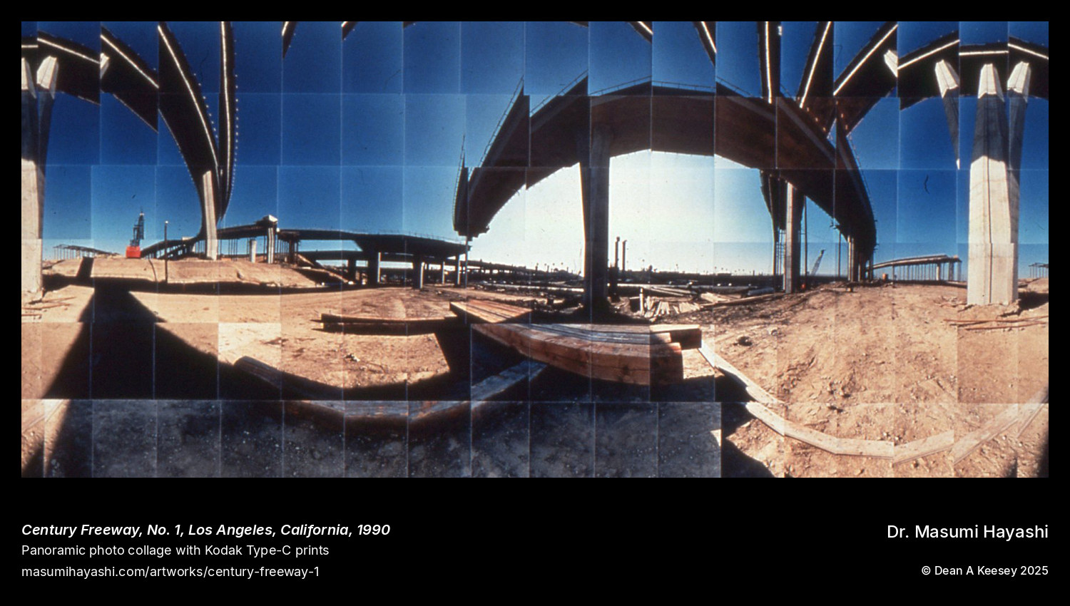
More from Post-Industrial Landscapes
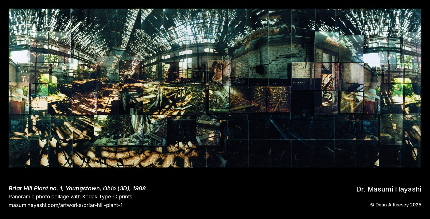
Briar Hill Plant no. 1, Youngstown, Ohio (3D)
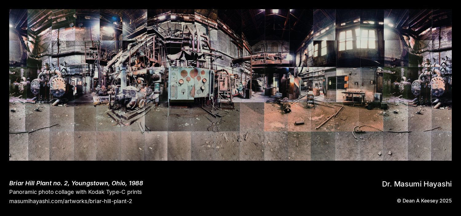
Briar Hill Plant no. 2, Youngstown, Ohio
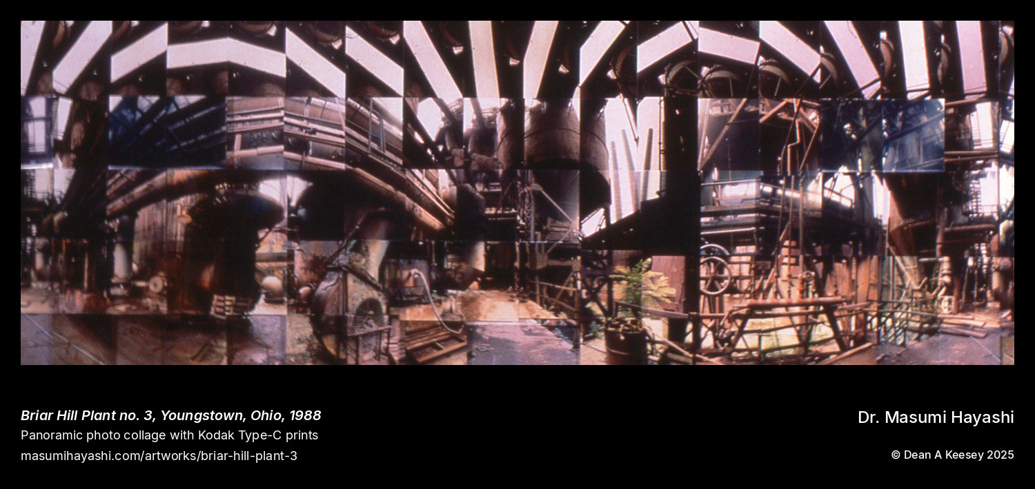
Briar Hill Plant no. 3, Youngstown, Ohio
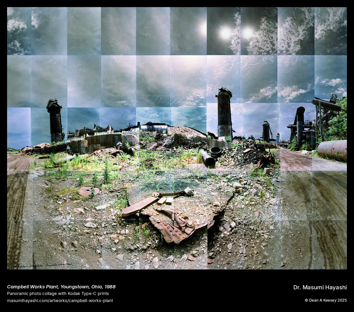
Campbell Works Plant, Youngstown, Ohio
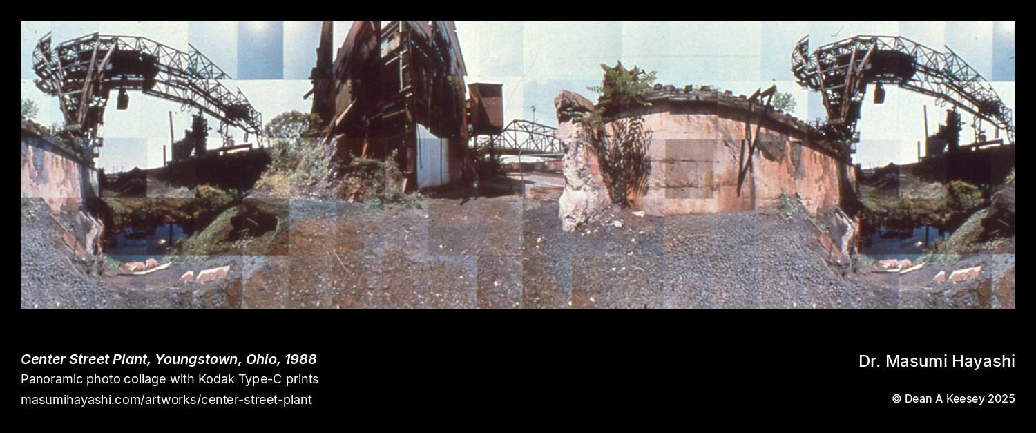
Center Street Plant, Youngstown, Ohio